
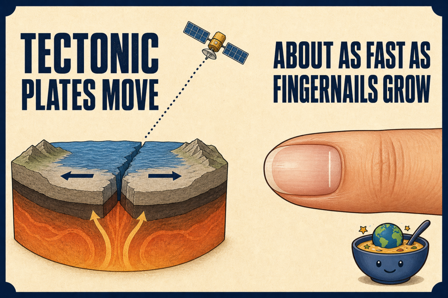
The ground beneath you can look perfectly still while the plate carrying it continues to move. The U.S. Geological Survey offers an unusually human comparison for the pace: tectonic plates move roughly as fast as fingernails grow.
That sentence makes continental-scale motion easier to imagine, but it also raises a harder question. If the movement is too slow to watch, how can scientists know that it is happening? The answer is not a single dramatic observation. It is an evidence trail built with two very different clocks: satellite-based GPS for motion happening now and magnetic records in ocean-floor rocks for movement across geologic time.
A comparison, not one universal speed
The fingernail comparison is deliberately rough. USGS notes that individual tectonic plates move at different speeds and in different directions. The analogy therefore should not be treated as a precise conversion between one millimeter of nail growth and one fixed amount of plate travel.
Its real value is scale. Fingernail growth is familiar, steady, and almost impossible to notice from moment to moment. Plate motion is similar in that respect. A short glance reveals nothing, but measurements separated by enough time can reveal a change.
The present-day clock: satellite GPS
For current motion, USGS points to satellite-based Global Positioning Systems. The agency says these systems can measure crustal motion within a fraction of a millimeter per year. Instead of asking whether a person can see the ground move, scientists ask whether carefully measured positions change over time.
That distinction matters. GPS is not moving the plates, and the satellite in our illustration is not shown to scale. It represents an observing system. Repeated position measurements let a very small annual shift emerge from a landscape that appears unchanged to the eye.
GPS also preserves the nuance that the fingernail analogy can hide. Because individual plates have their own speeds and directions, measurements are useful only when motion keeps both parts of the story: how much change occurred and which way it went.
The long-term clock: magnetic reversals in rock
GPS addresses present-day crustal movement, but geologists also need evidence that reaches far beyond the lifespan of any satellite. USGS describes another method based on rocks in ocean floors. Those rocks preserve records of reversals in Earth’s magnetic field.
If scientists know the approximate duration represented by a reversal record, they can calculate an average rate of plate movement across that interval. The method does not turn a rock into a tiny speedometer. It uses a dated sequence preserved in the seafloor as a record of change over time.
Two clocks make the invisible visible
The two methods answer related questions on different timescales. Satellite GPS detects present-day crustal movement with extraordinary precision. Magnetic-reversal records in ocean-floor rocks support estimates of average motion over geologic spans. One is a modern measurement system; the other is a physical archive.
Together, they explain why the quiet ground is not evidence of a motionless planet. Human senses are tuned to seconds, minutes, and obvious displacement. Plate tectonics often works on a pace closer to growing nails. The motion becomes visible only when the measuring clock is patient enough.